Cima Casarene is the northernmost peak of the Lucretili Mountains Regional Park, on the Sabine side, and also the loneliest one. With its 1191 meters it is probably one of the least frequented mountaintop in Lazio. It develops along the ridge that separates the catchment areas of Lake Turano from those of the Tiber.
You start from Orvinio, considered - rightfully - one of the most beautiful hamlets in Italy, drive for a couple of kilometers to the locality Pratarelle, park in a convenient widening with a hiking map prepared by the park, take a dirt road on the left and start walking.
Ph. Ludovica Baratta

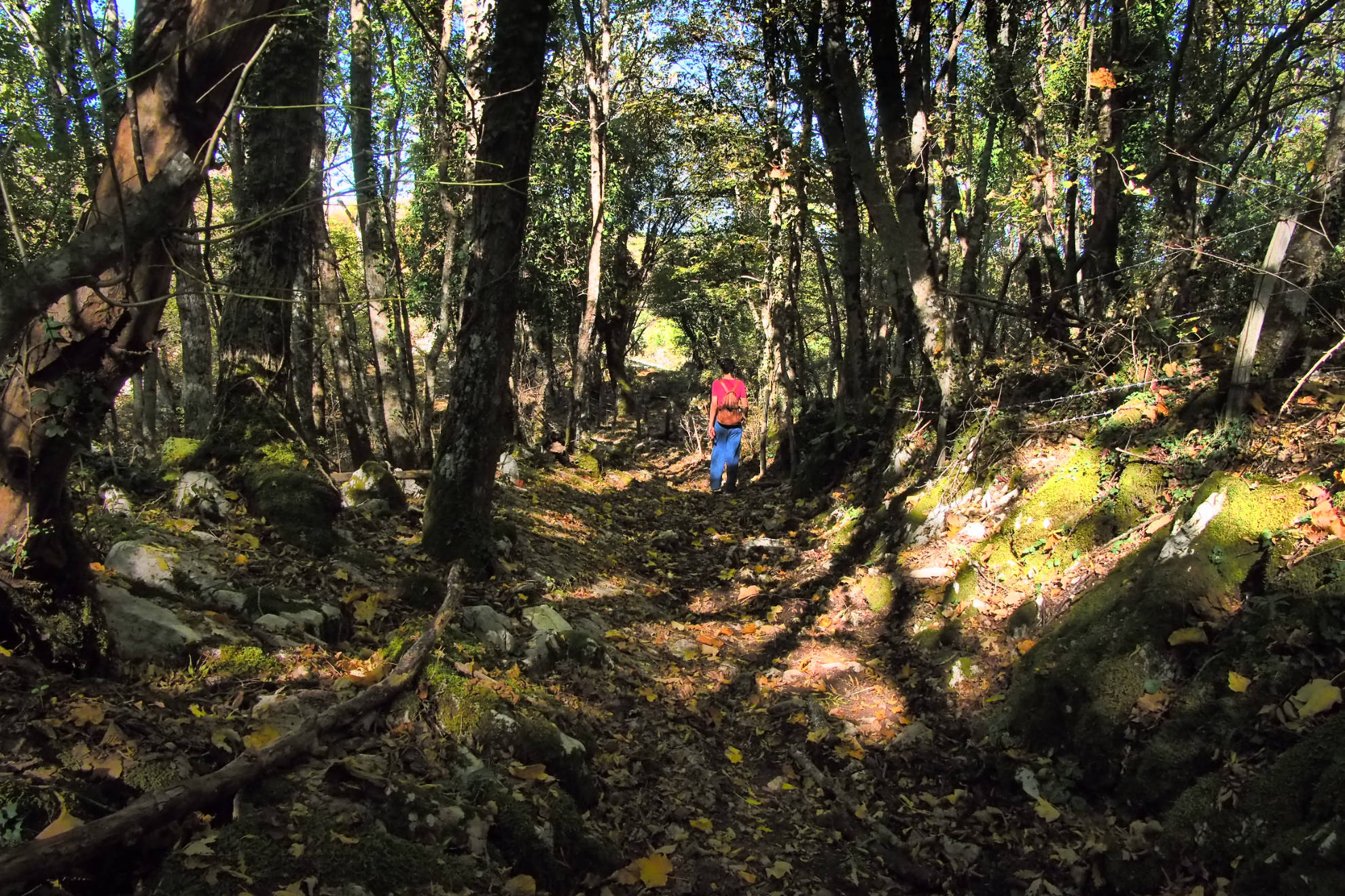
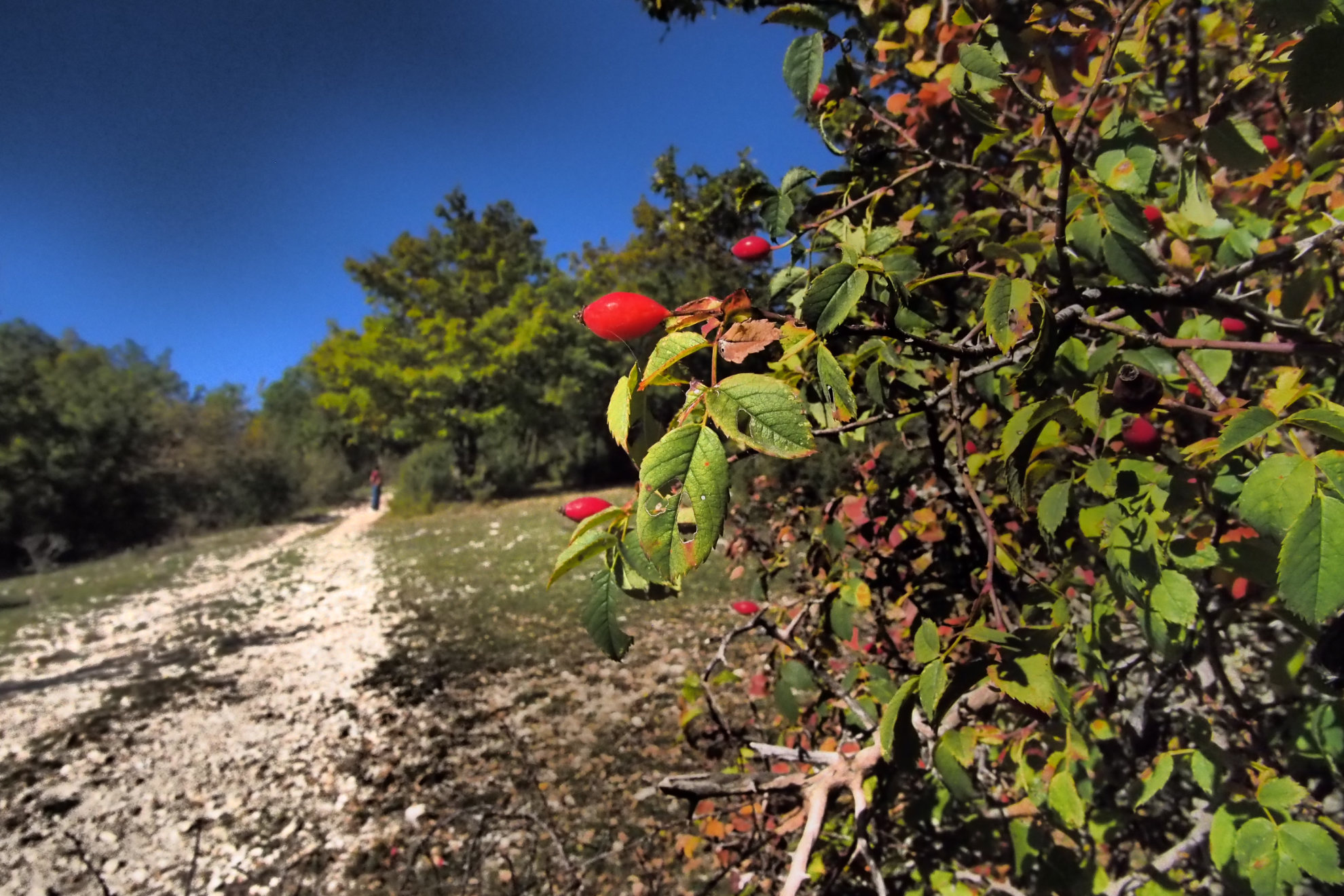
First you walk along a slightly uphill rut, from where you can still hear the far barking of dogs that protect the flocks and the voice of children playing in the meadows downstream. As you go up, among bushes of dog rose, hawthorn and blackthorn, the silence becomes more and more dense, interrupted every now and then only by the squawking of some crow hidden in the trees. Then you enter the forest of oaks, black hornbeams, beech trees up to six meters high and so, together with the deep silence, you feel a sensation of very sweet solitude, which gives peace and intimacy.
Ph. Ludovica Baratta

Hikers hardly go to Cima Casarene, also due to the fact that the signs are not always evident. So, unlike with other routes in Lazio that became very popular over time, almost no one arrives here. Even trekking is now affected by the logic of fashion: you go where almost everyone goes, to be sure that it is beautiful and to be able to say that you have been there. Cima Casarene, on the other hand, is the ideal place to experience an day in intimate contact with yourself.
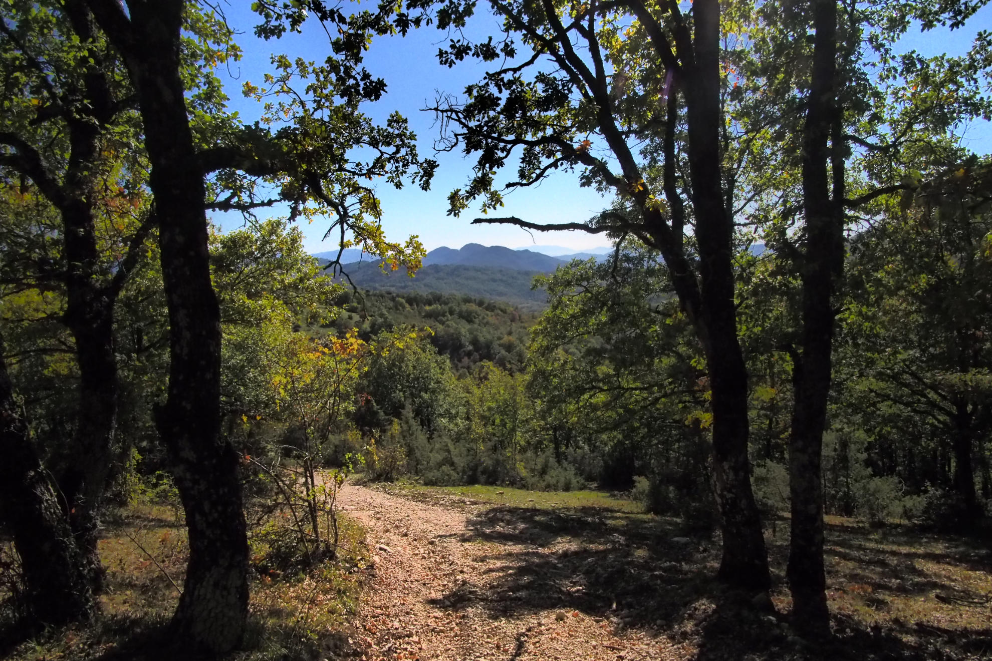
At a certain point the path is bordered by a wooden gate and a barbed wire net indicating that this patch of land belongs to the regional state property. You have to go beyond it to enter the woods and enjoy the real mountain atmosphere. The vegetation here is even intrusive, but in the points where it opens to the view, the landscape can be admired in all its beauty, ranging between the Rieti and Sabine mountains, with mount Terminillo standing out above all.
Ph. Ludovica Baratta

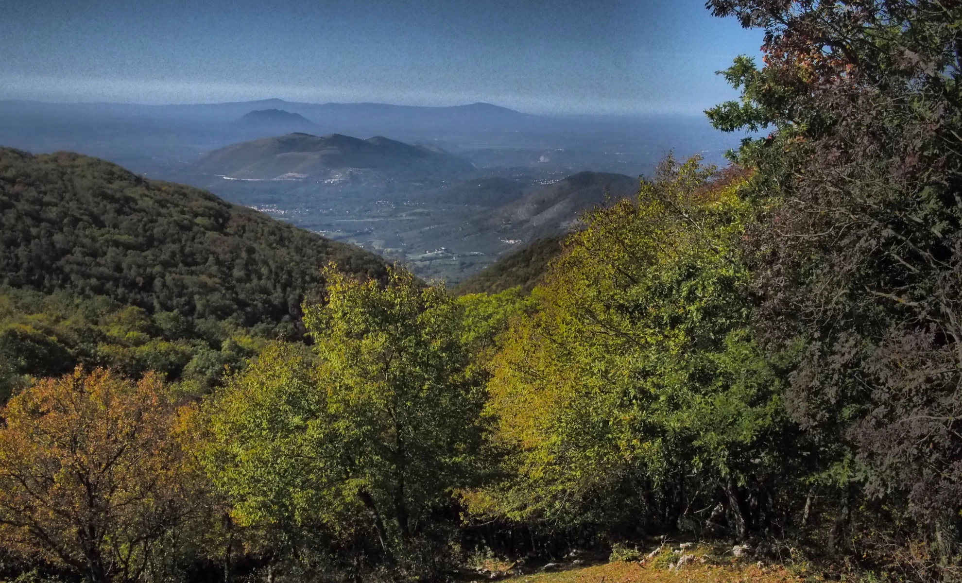
Once you reach the top, however, if the day is clear and neither the heat nor the fog play dirty tricks, the mountain will surprise you with a splendid view of the Abruzzo peaks of the Sirente-Velino regional park.
You may find the remains of the ancient high-ground settlement built at the end of the fourth century BC by the Romans and the Tiburtini for defensive purposes, to counter the advance of the Equi: unfortunately today they are not easy to identify, due also to the dense vegetation. But their presence testifies, at least symbolically, the historical value of this little known but extremely suggestive path.

